|
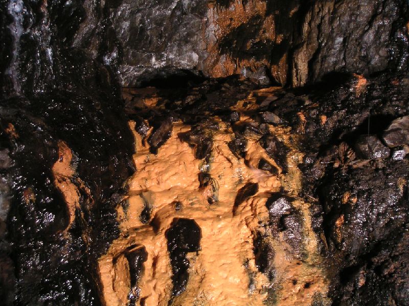 |
| This is the junction with Guddamgill Horse Level. Above this mash of mud and calcified rocks is a shaft which leads to the Coal Sill Level. If you look carefully you can see the arch of the horse level. It is possible to walk round and bypass this. |
| Total images: 23 | Last update: 05/07/11 15:31 | Help |