|
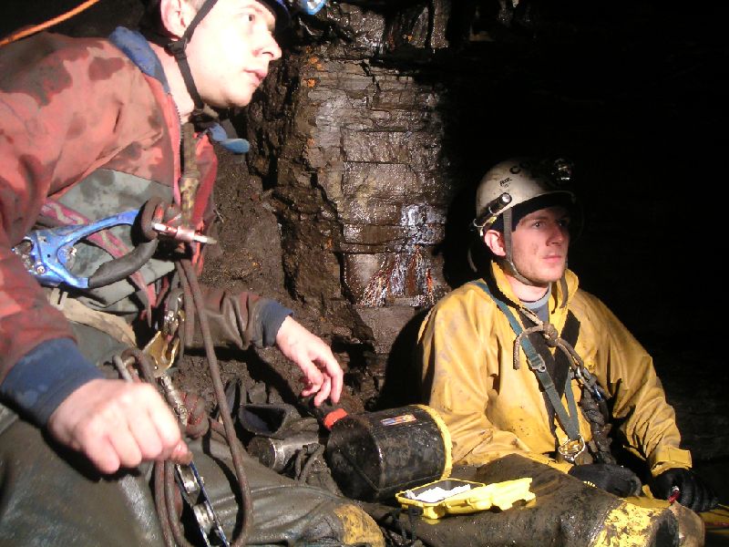 |
| Sitting by the exit point of the stope, just behind me. The exit comes out at a 3 way junction, left I think goes back following the Top Sill's Level (according to the compass), right to Brownley Hill, and straight on we don't know, but looking at the map that seems to maybe be a better candidate for following the Top Sill's due to the way the passage bends. |
| Total images: 23 | Last update: 05/07/11 15:31 | Help |